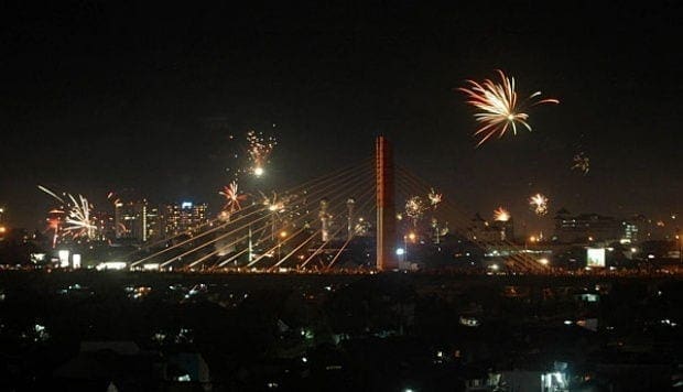
Bandung, the capital of West Java province, located about 180 kilometres (110 mi) southeast of Jakarta, is the third largest city in Indonesia. Its elevation is 768 metres (2,520 ft) above sea level and is surrounded by up to 2,400 m (7,874 ft) high Late Tertiary and Quaternary volcanic terrain. The 400 km2 flat of central Bandung plain is situated in the middle of 2,340.88 km2 wide of the Bandung Basin; the basin comprises Bandung, the Cimahi city, part of Bandung Regency, part of West Bandung Regency, and part of Sumedang Regency. The basin’s main river is the Citarum; one of its branches, the Cikapundung, divides Bandung from north to south before it merges with Citarum again in Dayeuhkolot. The Bandung Basin is an important source of water for drinking water, irrigation and fisheries, and its 6,147 million m³ of groundwater is a major reservoir for the city.
The northern part of the city is more hilly than the rest; the distinguished truncated flat-peak shape of the Tangkuban Perahu volcano (Tangkuban Perahu literally means ‘upside-down boat’) can be seen from the city to the north. Long-term volcanic activity has created fertile andisol soil in the north, suitable for intensive rice, fruit, tea, tobacco and coffee plantations. In the south and east, alluvial soils deposited by the Cikapundung river are mostly found.
Geological data shows that the Bandung Basin is located on an ancient volcano, known as Mount Sunda, erected up to 3,000–4,000 metres (9,850–13,100 ft) during the Pleistocene age. Two large-scale eruptions took place; the first formed the basin and the other (est. 55,000 Before Present) blocked the Citarum river, turning the basin into a lake known as “the Great Prehistoric Lake of Bandung”. The lake drained away; the reason for which is the subject of ongoing debate among geologists
The city of Bandung has a tropical highland rainforest monsoon climate. Due to its elevation, the climate in Bandung is cooler than most Indonesian cities and is classified as humid; the average temperature is 23.6 °C (74.5 °F) throughout the year. The average annual rainfall ranges from 1,000 millimetres in the central and southeast regions to 3,500 millimetres in the north of the city. The wet season conforms with other Indonesian regions, around November to April. Despite its high elevation, no snow was recorded, due to its tropical location, even though lowest temperature recorded is 4.44 °C (40.0 °F). Also, it has wet and dry seasons, despite being located close to equator

